

You’ll Gain
More time and much more knowledge
FAQs
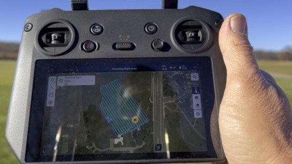
What is Precision Drone Mapping?
Precision Drone Mapping is a specialized service that utilizes advanced drone technology coupled with a lifetime of experience in golf course management, to create detailed and accurate maps of golf courses. These maps can be instrumental in optimizing course design and management, enhancing overall playability.
How can drone mapping benefit golf courses?
Drone mapping provides golf course managers with precise data on topography, vegetation health, and course layout. This information helps in making informed decisions for maintenance, landscaping, and overall course improvement
What kind of data can be obtained through drone mapping for golf courses?
Our drones capture high-resolution imagery and generate maps showcasing course changes, turf health, water features, and other vital details. This data aids in identifying areas for improvement and efficient resource allocation and acts as a historical record of the course.
Can drone mapping help with irrigation planning and water management??
Absolutely. Precision Drone Mapping can provide valuable insights into soil moisture levels, drainage patterns, and water usage efficiency. This information aids in optimizing irrigation systems for better water conservation.
How long does it take to complete a drone mapping session for a golf course?
The duration varies based on the size and complexity of the golf course. Generally, the mapping process is efficient, with an average mapping flight completed in an hour or less, and we work closely with clients to minimize disruption to regular operations.
Are there any regulatory considerations for drone mapping on golf courses?
We ensure compliance with all relevant aviation and drone regulations. Our team is experienced in obtaining the necessary permits and permissions to conduct mapping operations in a safe and lawful manner.
Is drone mapping suitable for all types and sizes of golf courses?
Yes, Precision Drone Mapping is adaptable to golf courses of various sizes and designs. Whether you have a small local course or a large resort, our services can be tailored to meet your specific needs.
How frequently should drone mapping be conducted for a golf course?
The frequency of drone mapping depends on the specific requirements of the golf course. However, it is common for courses to opt for seasonal or annual mapping to track changes, plan maintenance, and implement improvements.
Is the data obtained through drone mapping secure and confidential?
Yes, we prioritize the security and confidentiality of our clients' data. Our processes adhere to strict privacy standards, and we ensure that the information collected is used exclusively for the benefit of the golf course.